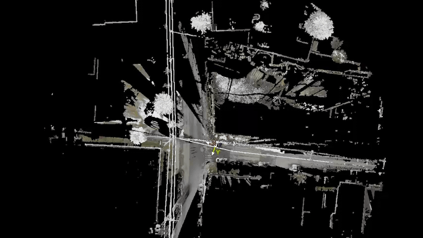

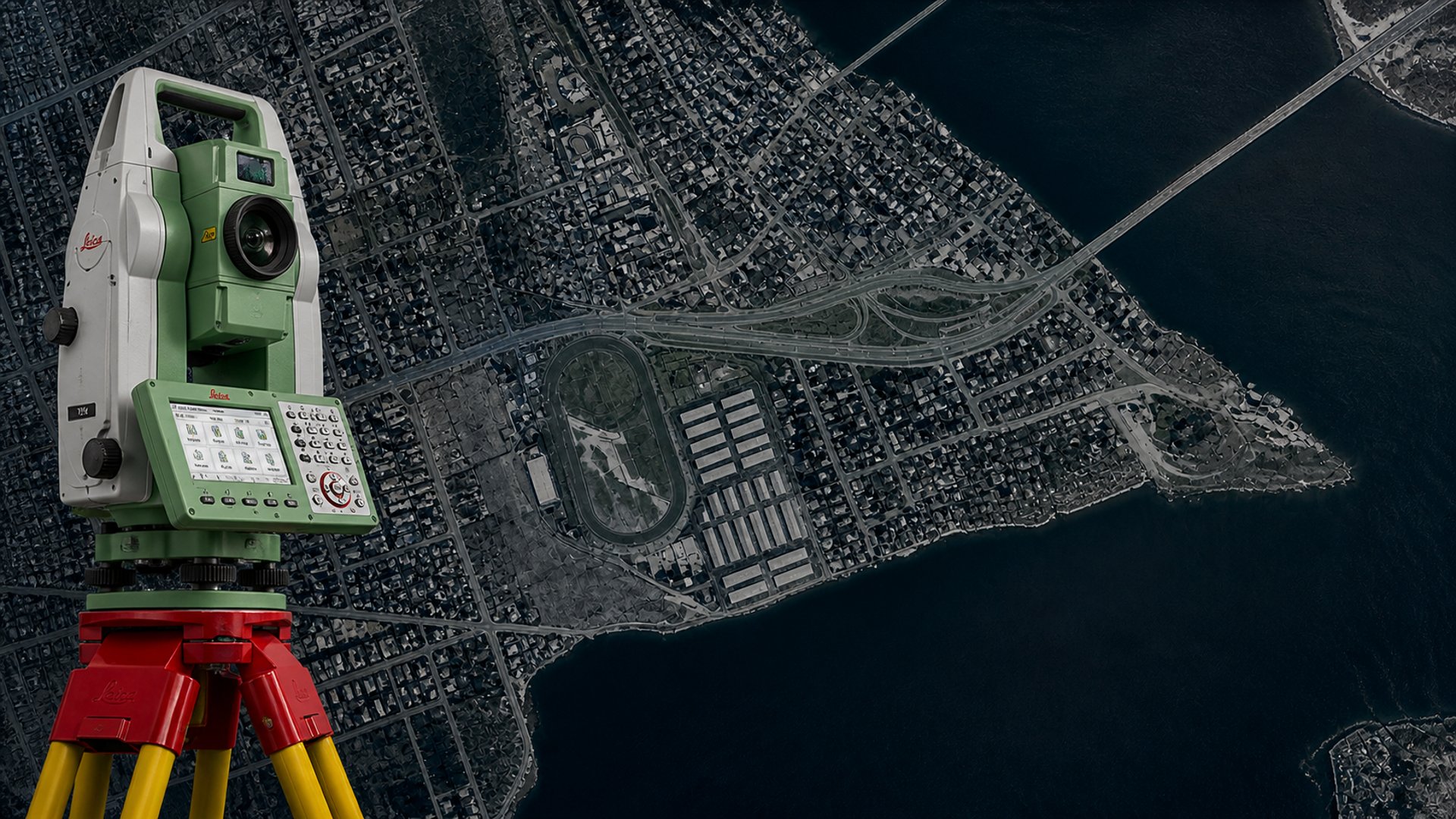
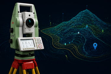
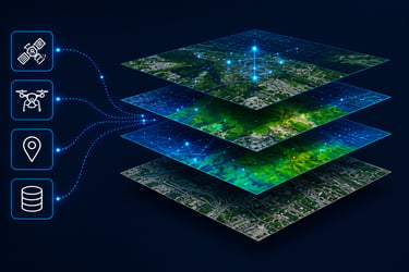
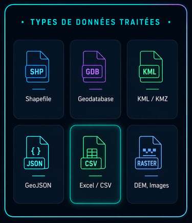
✔ Traitement des données géospatiales issues de différentes méthodes d’acquisition (stations totales, niveaux géométriques, systèmes GNSS, scanners laser, drones, etc.)
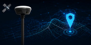
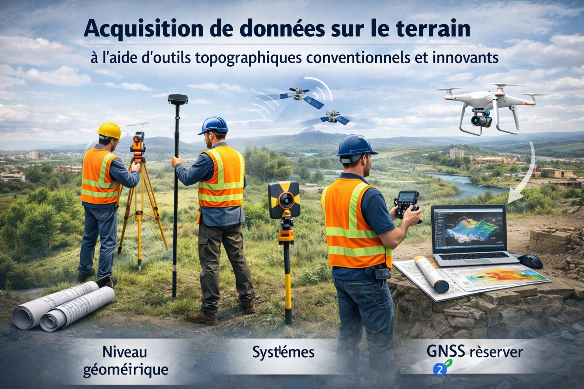
✔ Acquisition de données sur le terrain à l’aide d’outils topographiques conventionnels et innovants.
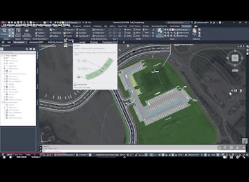
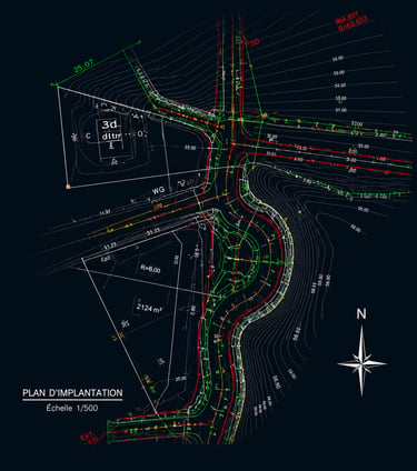
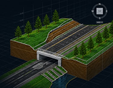
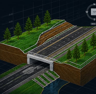
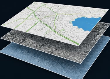
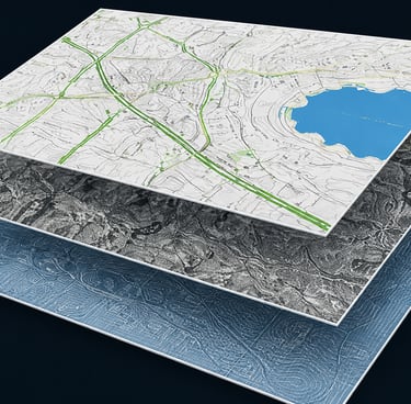
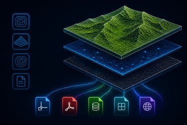
✔ Dessin assisté par ordinateur (CAO 2D et 3D), modélisation et préparation de livrables cartographiques.
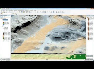
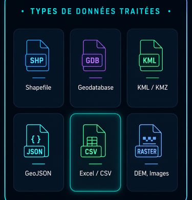
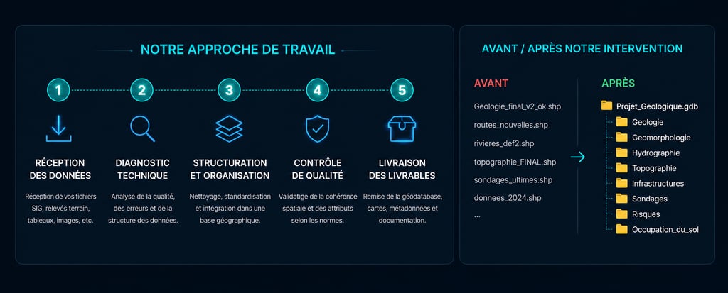
✔ Structuration et gestion de bases de données géographiques, avec intégration dans des systèmes d’information géographique (SIG).
✔ Création de solutions web d’analyse et de consultation de données géospatiales.
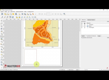
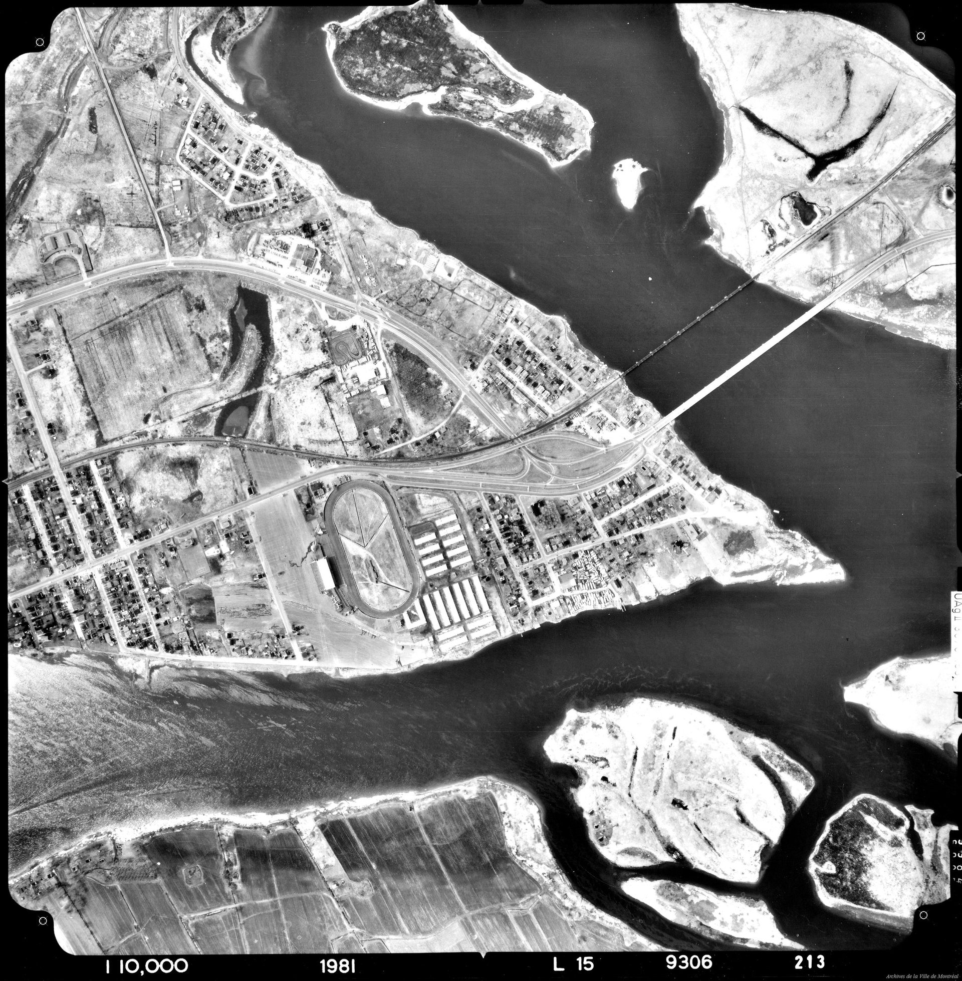
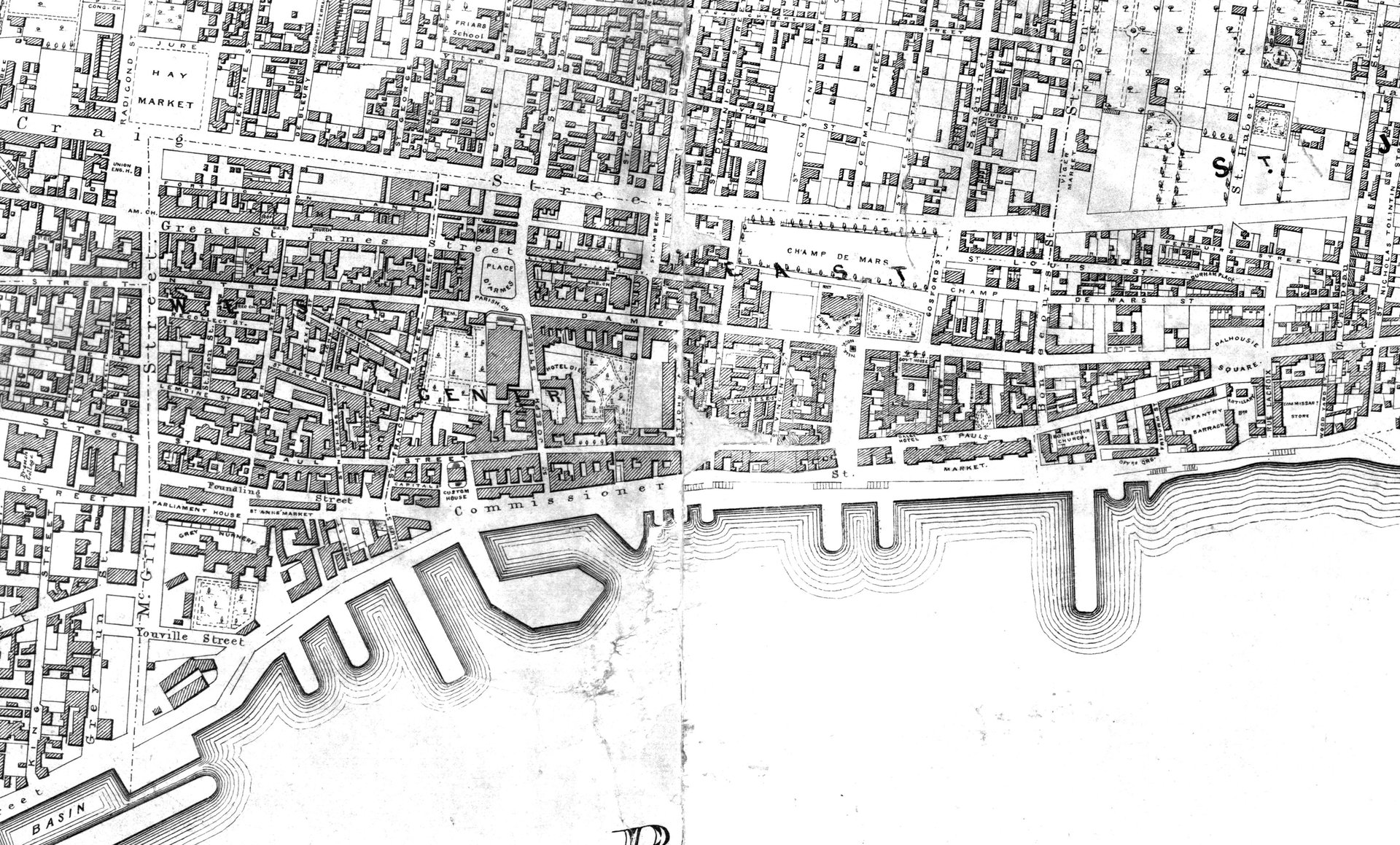
✔ Produits spécialisés pour l’archéologie et l’environnement, tels que la superposition de cartographie ancienne ou la réalisation de coupes stratigraphiques.
EXPERTS EN LOGICIELS GÉOMATIQUES